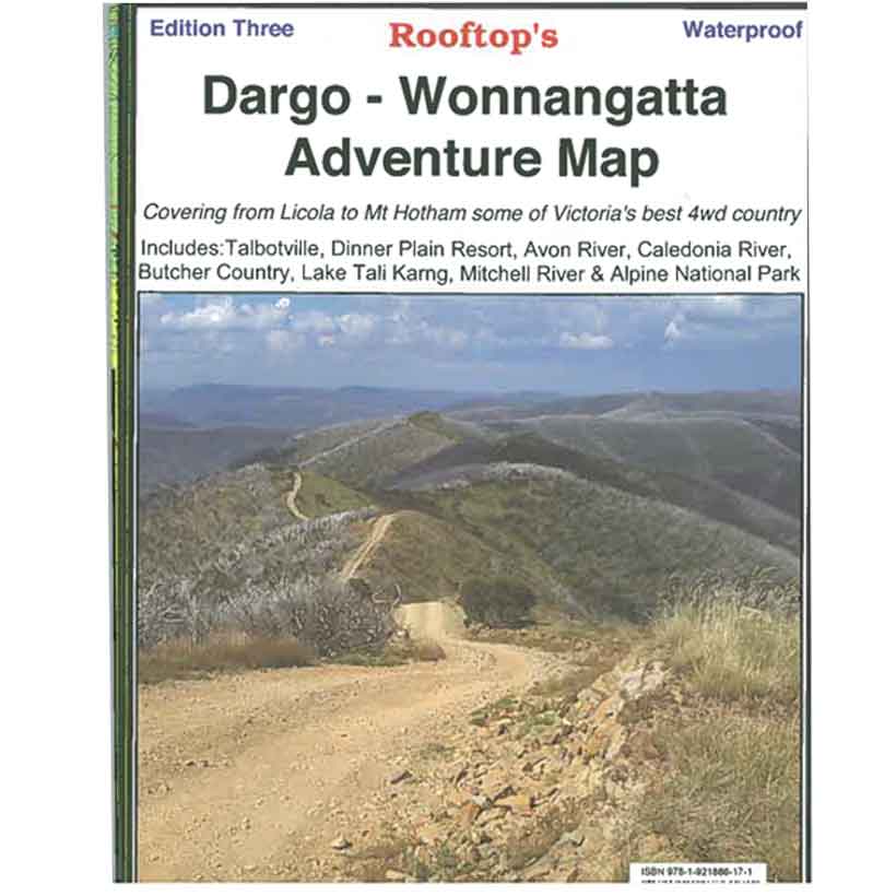

Rooftop's Dargo - Wonnangatta
SKU
8751400VIC059
$14.99
Available for delivery
Not Available For Click & Collect
Map coverage is from Licola to Mount Hotham and from Briagolong to the Buckland Valley and everything in between including access routes into Wonnangatta Station, the Crooked River goldfields, Upper Dargo goldfields and Mitchell River National Park.
As well as detailed road and track information, there are lots of useful tips and warnings noted against various tracks. The first edition was finalised after the 2003 bushfires and appropriate notes have been recorded regarding the survival or destruction of huts. The fire boundary is also shown. Scale is 1:100,000. First published 2003 and revised in 2006. See extract below.
The reverse side has a 1:50,000 scale enlargement titles Dargo - Howitt Plains Forest Activities Map providing more detail for Wonnangatta valley, Crooked River and the Howitt Plains near Licola.
Write Your Own Review

Enter your email below to receive your one time only $10 off Code.
Limited time only! Online Only! DON’T MISS OUT.
You might also be interested in
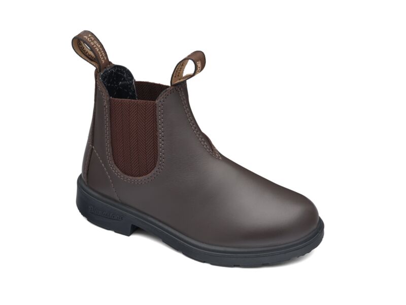 Someone in Dromana, Australia purchased Blundstone 630 Kids with $99.992 hours ago.
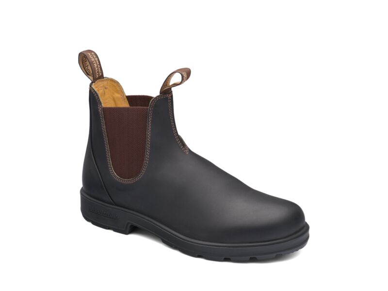 Someone in Dromana, Australia purchased Blundstone 600 Work Boot with $149.992 hours ago.
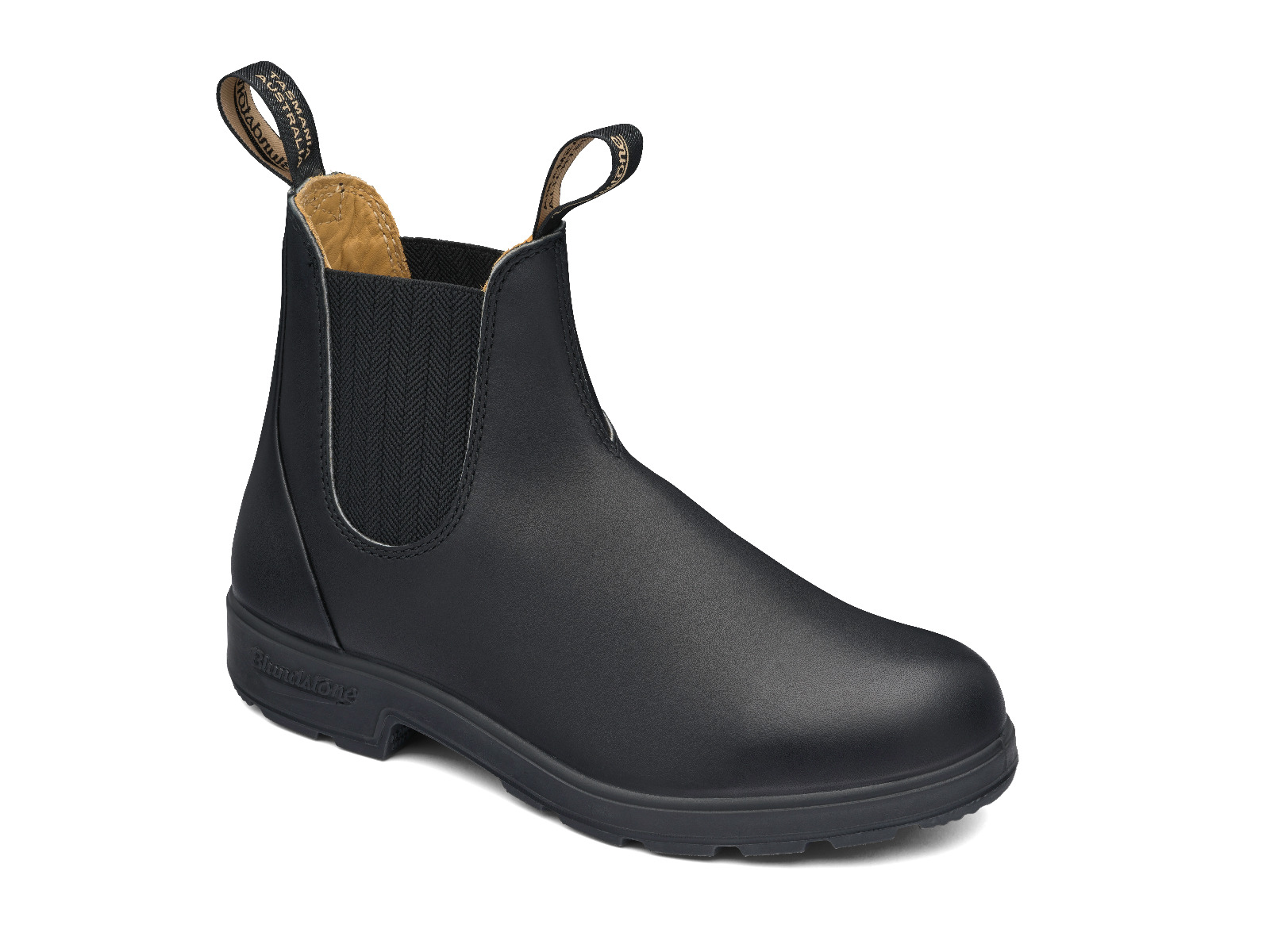 Someone in Thornbury, Australia purchased Blundstone 610 Work Boot with $149.995 hours ago.
 Someone in Hackham west, Australia purchased RSW3 Haversack Back Pack with $33.245 hours ago.
TERMS & CONDITIONS