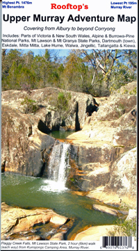

Upper Murray Rooftop's Map
SKU
8751400VIC079
$12.99
Available for delivery
Available for Click & Collect
Rooftop's Upper Murray
Albury to Corryong
Upper Murray Rooftop: Coverage extends from Albury / Wodonga to Corryong and from the Murray River, south to Mitta Mitta, Dartmouth Village, Glen Dart and Running Creek.
The map includes Mount Granya State Park, Lake Hume, Mount Lawson State Park, Burrowa - Pine Mountain National Park, Mount Mittamatite, Wabba Wilderness plus state forest around Cravensville, Eskdale, Mitta Mitta and Nariel.
Scale is 1:100,000. Roads and tracks have been carefully field-checked in 2006 / 2007 using GPS technology.
- -
- Scale is 1:100,000. Roads and tracks have been carefully field-checked in 2006 / 2007 using GPS technology
Write Your Own Review

Enter your email below to receive your one time only $10 off Code.
Limited time only! Online Only! DON’T MISS OUT.
You might also be interested in
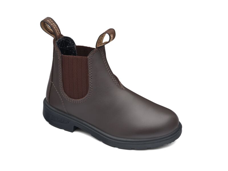 Someone in Dromana, Australia purchased Blundstone 630 Kids with $99.994 hours ago.
 Someone in Dromana, Australia purchased Blundstone 600 Work Boot with $149.994 hours ago.
 Someone in Thornbury, Australia purchased Blundstone 610 Work Boot with $149.996 hours ago.
 Someone in Hackham west, Australia purchased RSW3 Haversack Back Pack with $33.247 hours ago.
TERMS & CONDITIONS