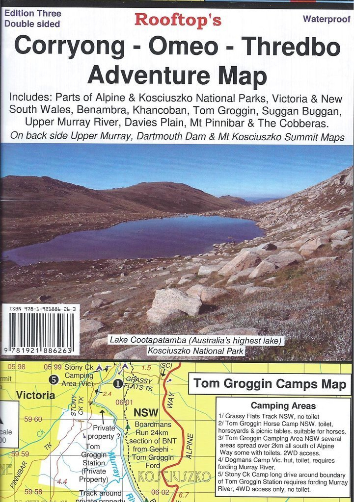

Rooftop's Corryong - Omeo - Thredbo Adventure Map
SKU
8751400VIC058
$16.99
Available for delivery
Not Available For Click & Collect
Map coverage includes Corryong, Khancoban, Nariel, Gibbo, Pinninbar, Tom Groggin, Benambra, Omeo, Taylors Crossing, Glen Dart, The Cobberas, Cowombat Flat, Suggan Buggan, Wulgulmerang, Davies Plain, Upper Murray and Thredbo and parts of the Alpine National Park, Kosciuszko National Park and Upper Murray River.
All parks, reserves and state forests are shown and all roads and tracks within the map area have been plotted using GPS mapping technology.
The reverse side features inset maps of Dartmouth Dam, Upper Murray and Mount Kosciuszko Summit Access.
- All parks, reserves and state forests are shown and all roads and tracks within the map area have been plotted using GPS mapping technology.
- The reverse side features inset maps of Dartmouth Dam, Upper Murray and Mount Kosciuszko Summit Access.
- Edition 3rd edition.
- Publication date 2016
- Map Scale 1:100,000
Write Your Own Review

Enter your email below to receive your one time only $10 off Code.
Limited time only! Online Only! DON’T MISS OUT.
You might also be interested in
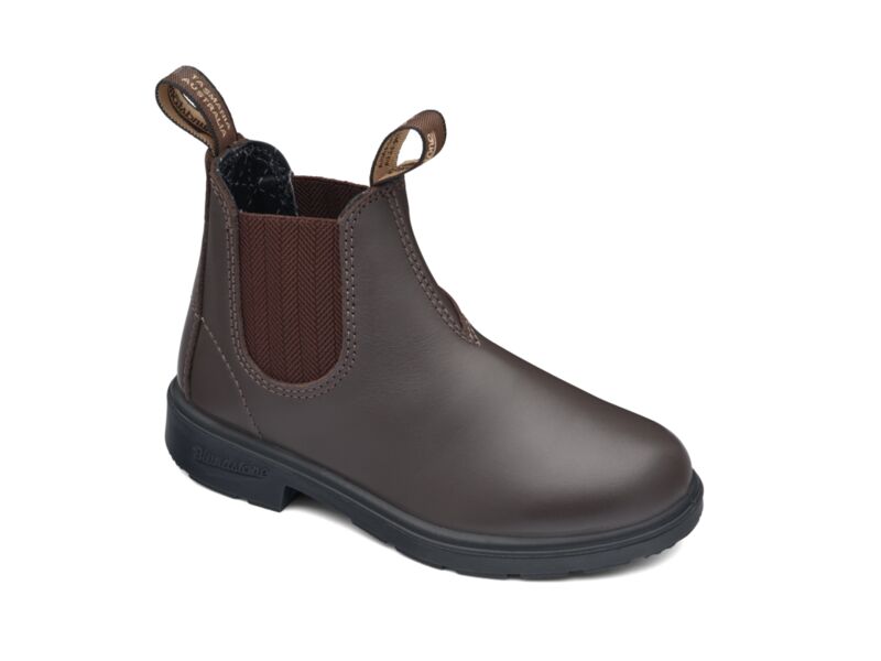 Someone in Dromana, Australia purchased Blundstone 630 Kids with $99.994 hours ago.
 Someone in Dromana, Australia purchased Blundstone 600 Work Boot with $149.994 hours ago.
 Someone in Thornbury, Australia purchased Blundstone 610 Work Boot with $149.997 hours ago.
 Someone in Hackham west, Australia purchased RSW3 Haversack Back Pack with $33.247 hours ago.
TERMS & CONDITIONS