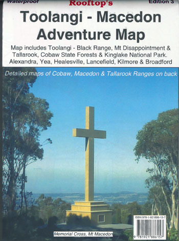

Rooftop's Toolangi/ Macedon Map
SKU
8751400VIC078
$16.99
Available for delivery
Not Available For Click & Collect
Toolangi Macedon Rooftop, Waterproof
Explore the interesting Toolangi, Macedon and Murrindindi Country
Map coverage is from Alexandra, Narbethong and Buxton in the east to Cobaw, Lancefield, Macedon and Romsey in the west.
It includes Cobaw State Forest, Tallarook State Forest, Mount Disappointment State Forest, Toolangi State Forest, Black Range, Kinglake National Park, Healesville, Murrindindi, Yea, Highlands, Seymour and much more. Scale is 1:100,000.
The reverse of the map has a 1:50,000 scale enlargement titled 'Macedon Ranges Forest Activities Map' and also 'Cobaw Ranges Forest Activities Map' and 'Tallarook Forest Activities Map' all with contours.
Rooftop maps are a must for all users including 4wd, dirt bike riders, walkers or horse riders.
All parks, reserves and state forests are shown and all roads and tracks have been plotted using GPS mapping technology. Waterproof paper.
- Waterproof
- Edition 3rd edition.
- Publication date 2014
- Map Scale 1:100,000 with 1:50,000 scale enlargements.
Write Your Own Review

Enter your email below to receive your one time only $10 off Code.
Limited time only! Online Only! DON’T MISS OUT.
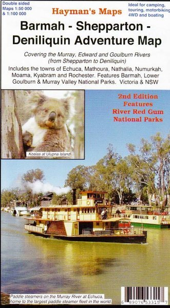
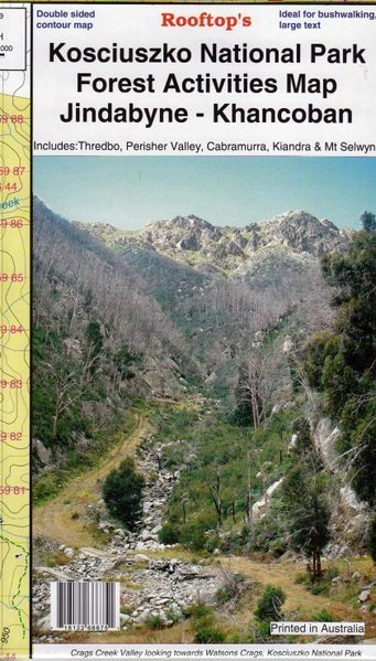
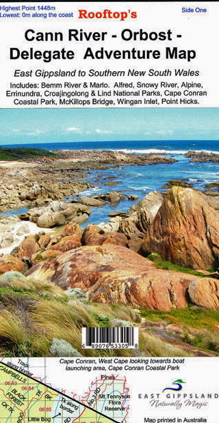
You might also be interested in
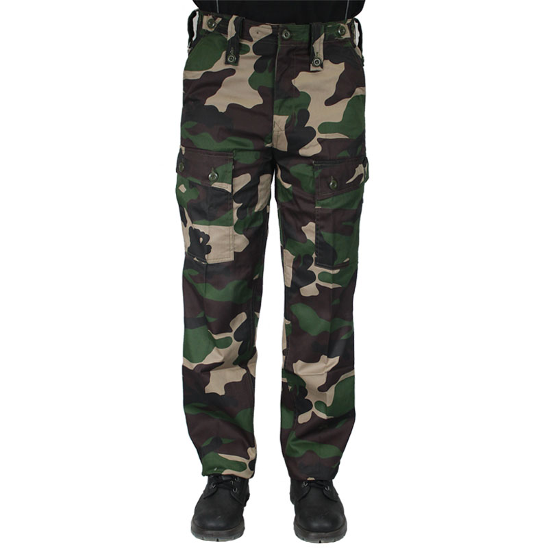 Someone in Soldiers Point, Australia purchased Huss M-25 Woodland Trousers with $49.992 hours ago.
 Someone in FRANKSTON, Australia purchased Hi-Country 2 in 1 Mosquito Zapper Lantern with $29.992 hours ago.
TERMS & CONDITIONS