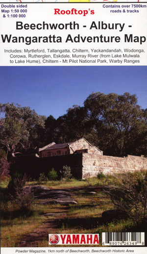

Rooftop's Beechworth Albury Wangaratta Map
SKU
8751400VIC050
$14.99
Available for delivery
Not Available For Click & Collect
Beechworth Albury Wangaratta Rooftop Map coverage is from Rutherglen to Hume Weir and Tallangatta in the north and from Wangaratta to Myrtleford and Eskdale in the south. Beechworth is positioned approximately in the centre. Scale of the main Adventure Map is 1:100,000. The reverse side has a 1:50,000 enlargement titled 'Beechworth Forest Activities Map' giving good detail of Chiltern, Mount Pilot, Beechworth, Yackandandah and the State Forests around Stanley.
All parks, reserves and state forests are shown and more than 7500km of roads and tracks have been plotted using GPS mapping technology.
- Beechworth is positioned approximately in the centre. Scale of the main Adventure Map is 1:100,000. The reverse side has a 1:50,000 enlargement titled 'Beechworth Forest Activities Map' giving good detail of Chiltern, Mount Pilot, Beechworth, Yackandandah and the State Forests around Stanley.
- All parks, reserves and state forests are shown and more than 7500km of roads and tracks have been plotted using GPS mapping technology.
- Scale 1:100,000
- Reverse side 1:50,000
Write Your Own Review

Enter your email below to receive your one time only $10 off Code.
Limited time only! Online Only! DON’T MISS OUT.
You might also be interested in
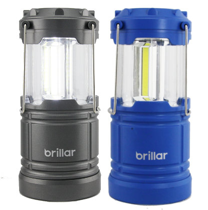 Someone in Greenvale, Australia purchased Brillar 9 Watt LED Lantern with $21.5942 minutes ago.
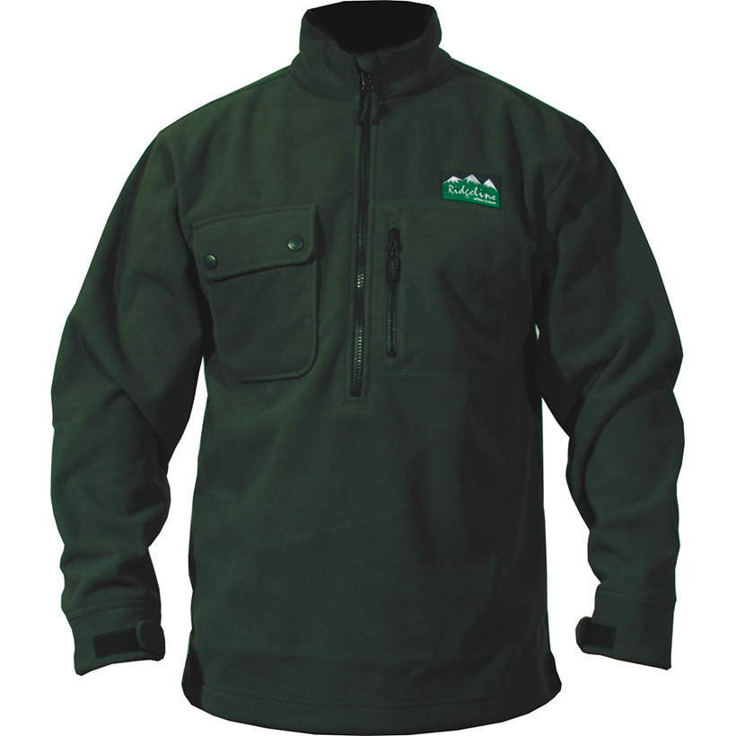 Someone in Kandos, Australia purchased Ridgeline Igloo Jacket with $79.991 hour ago.
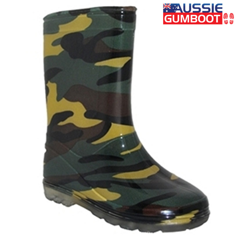 Someone in Fullarton, Australia purchased Kids Gumboot Splash with $17.992 hours ago.
TERMS & CONDITIONS