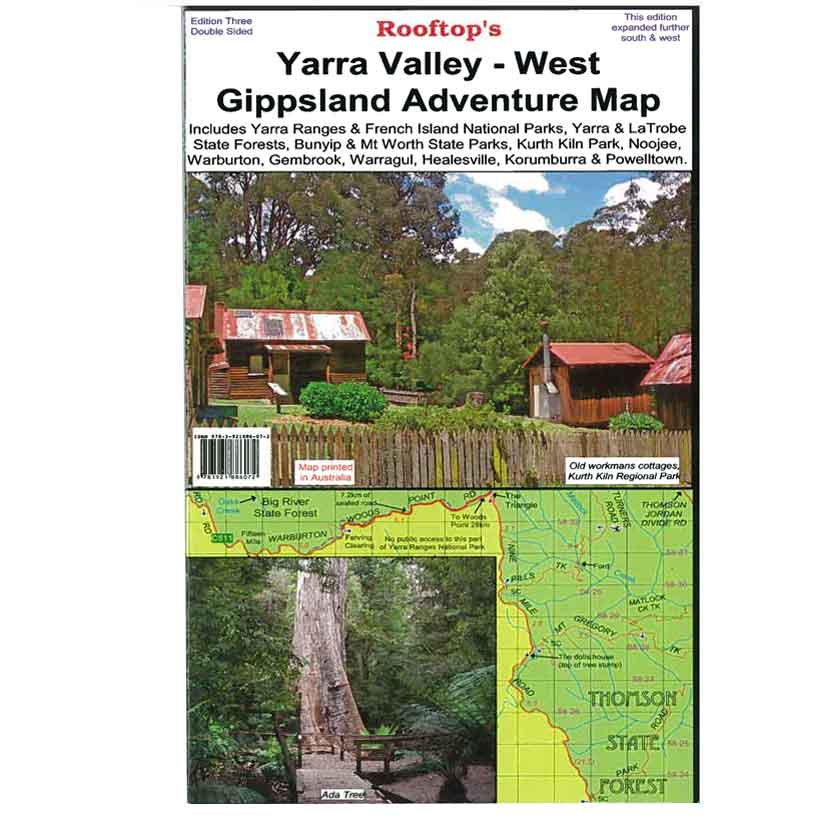

Rooftop's Yarra Valley - West Gippsland
SKU
8751400VIC084
$14.99
Available for delivery
Not Available For Click & Collect
Map coverage is from Marysville, Narbethong and Cumberland Junction in the north to Mount Worth, Pakenham and Trafalgar in the south. It includes Yarra Ranges National Park, Bunyip State Park, Yarra State Forest, Gembrook, Kurth Kiln, Noojee, Neerim South, Warragul, Powelltown and Mount Worth State Park. Scale is 1:100,000.
The reverse of the map has a 1:50,000 scale enlargement titled ' Gembrook - Noojee Forest Activities Map' with contours.
All parks, reserves and state forests are shown and all roads and tracks have been plotted using GPS mapping technology.
- Scale 1:100,000
- All roads and tracks have been plotted using GPS mapping technology
- All Parks, Reserves and State Forests are shown
Write Your Own Review

Enter your email below to receive your one time only $10 off Code.
Limited time only! Online Only! DON’T MISS OUT.
You might also be interested in
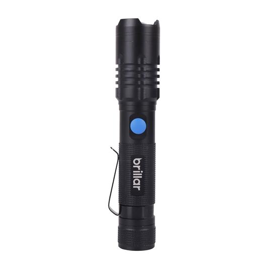 Someone in Cranbourne North, Australia purchased investigator 1000 tactical grade usb rechargeable torch with $39.996 hours ago.
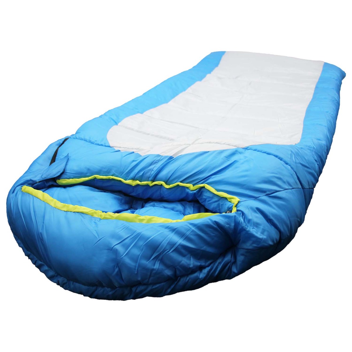 Someone in West Wodonga, Australia purchased HI COUNTRY CAMPER -5 SLEEPING BAG with $49.996 hours ago.
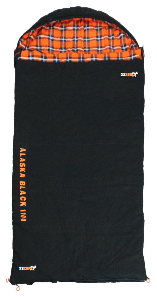 Someone in Dromana, Australia purchased 23Zero Alaska 1100 Sleeping Bag with $249.998 hours ago.
TERMS & CONDITIONS