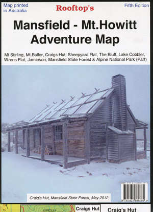

Rooftop's Mansfield Mt Howitt Adventure Map
SKU
8751400VIC068
Special Price $7.99 Regular Price $9.99
Available for delivery
Available for Click & Collect
The essential map for Craig's Hut, Mount Stirling and Sheepyard Flat
Map coverage is from Mansfield and Lake Cobbler in the north to Jamieson, Kevington and Mount Sunday in the south. It includes Craig's Hut, Sheepyard Flat, Mount Buller, Mount Stirling, Howqua Hills, Jamieson River, Mansfield State Forest, Alpine National Park (part), King Billy, and Macalister Springs. Scale is 1:100,000.
Recommended map for Stirling Circuit Road, Mt Stirling and Craig's Hut.
The reverse of the map has a 1:50,000 scale enlargement titled 'Sheepyard Flat - Craig's Hut Forest Activities Map' with contours.
All parks, reserves and state forests are shown and all roads and tracks have been plotted using GPS mapping technology.
- -
- Edition 5th edition.
- Publication date 2013
- Map Scale 1:100,000 scale main map. 1:50,000 enlargement Craig's Hut to Sheepyard Flat.
- ISBN 9.78E+12
Write Your Own Review

Enter your email below to receive your one time only $10 off Code.
Limited time only! Online Only! DON’T MISS OUT.
You might also be interested in
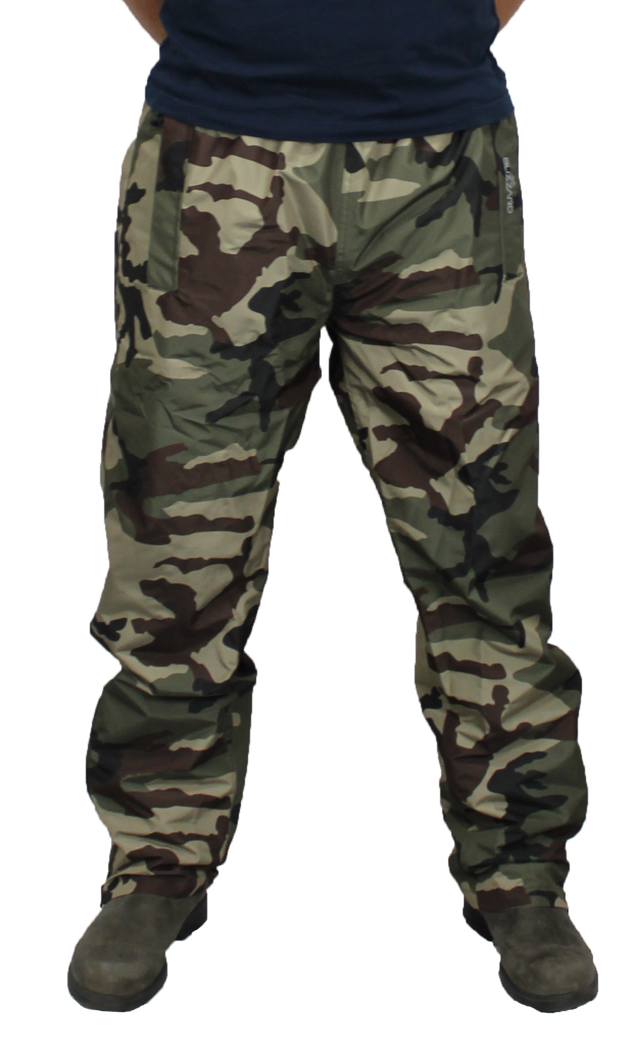 Someone in Holmview, Australia purchased Blizzard Camo Aquatec Pants with $24.999 minutes ago.
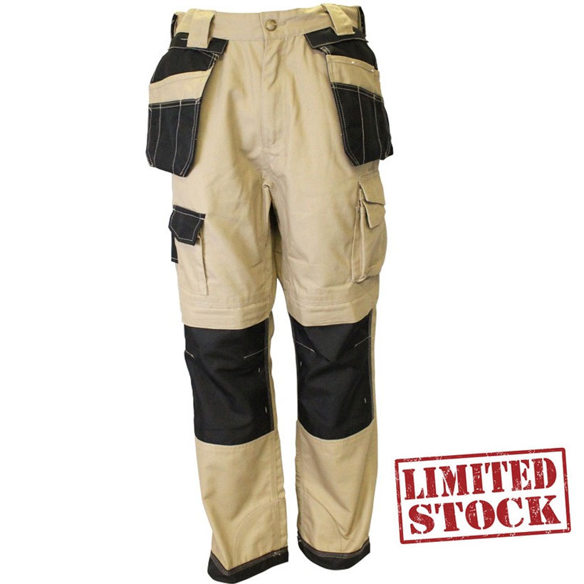 Someone in Holmview, Australia purchased Hardwear Ultimate Workwear Pants Khaki 102 & 107 Only with $19.999 minutes ago.
 Someone in Coburg North, Australia purchased Rainbird Lyra Womens Parka with $149.9911 minutes ago.
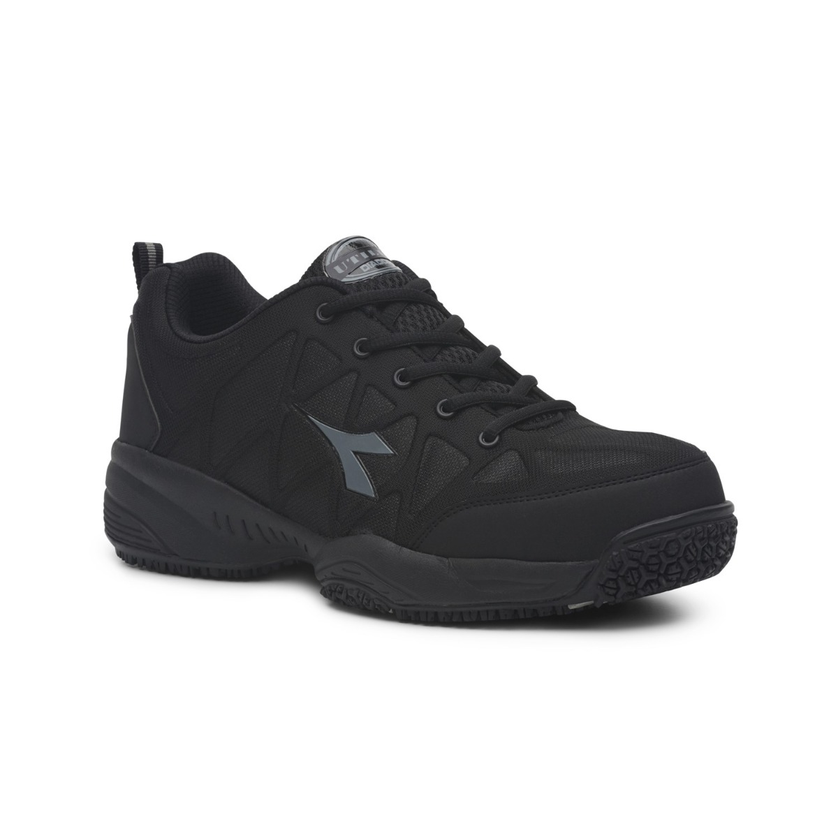 Someone in Springvale, Australia purchased Diadora Comfort Worker with $103.9924 minutes ago.
TERMS & CONDITIONS