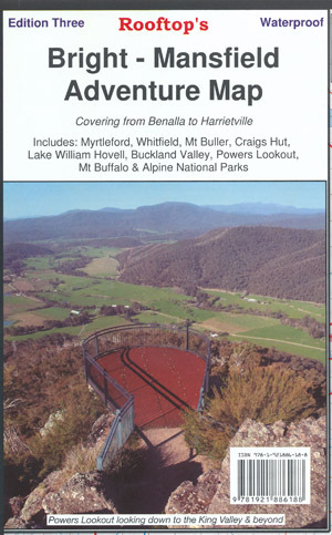

Rooftop's Bright - Mansfield Adventure Map
SKU
8751400VIC053
$16.99
Available for delivery
Not Available For Click & Collect
Map coverage is from Myrtleford, Bright, Moyhu and Benalla in the north to Mansfield, Mount Buller and Wonnangatta Station in the south. It includes Whitfield, Harrietville, Buckland, Buffalo River, Mount Buffalo, Powers Lookout and part of the Alpine National Park.
- Recommended map for 4X4 to Buckland Valley, Buffalo Valley, Tolmie, Toombullup, Cobbler Lake, King River.
- All parks, reserves and state forests are shown and all roads and tracks have been plotted using GPS mapping technology.
- Scale is 1:100,000.
- The reverse of the map has a 1:50,000 scale enlargement titled 'Bright - Whitfield Forest Activities Map' featuring Mount Buffalo National Park which is ideal for bushwalking.
Write Your Own Review

Enter your email below to receive your one time only $10 off Code.
Limited time only! Online Only! DON’T MISS OUT.
You might also be interested in
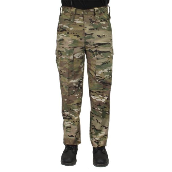 Someone in YALLAMBIE, Australia purchased HUSS Kids Multicam Trousers with $44.9913 minutes ago.
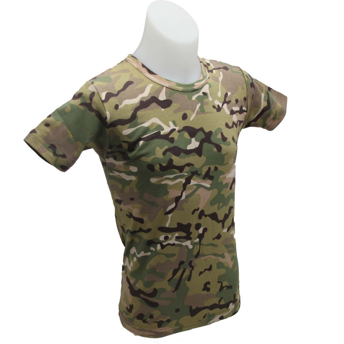 Someone in YALLAMBIE, Australia purchased ARMY T-SHIRT MULTICAM KIDS with $16.1413 minutes ago.
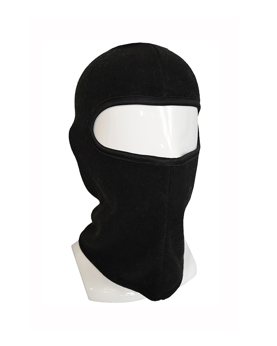 Someone in YALLAMBIE, Australia purchased SPY FLEECE Kids BALACLAVA with $14.2413 minutes ago.
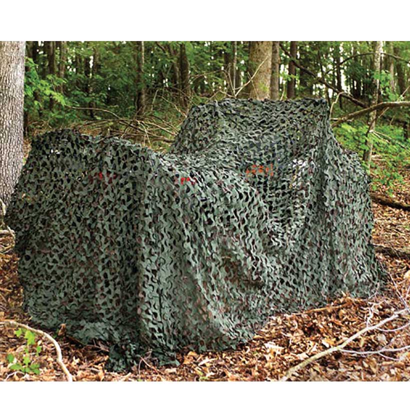 Someone in Fitzroy, Australia purchased 2.4m x 1.8m Woodland Camo Netting with $59.993 hours ago.
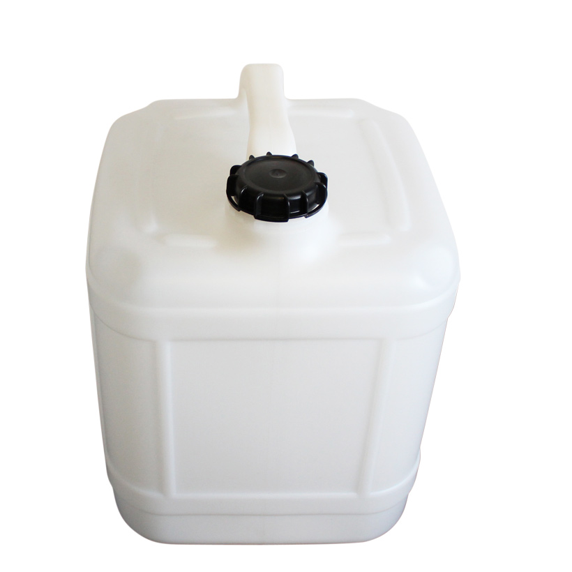 Someone in MALVERN EAST, Australia purchased 20Ltr Rectangular Drum with $16.993 hours ago.
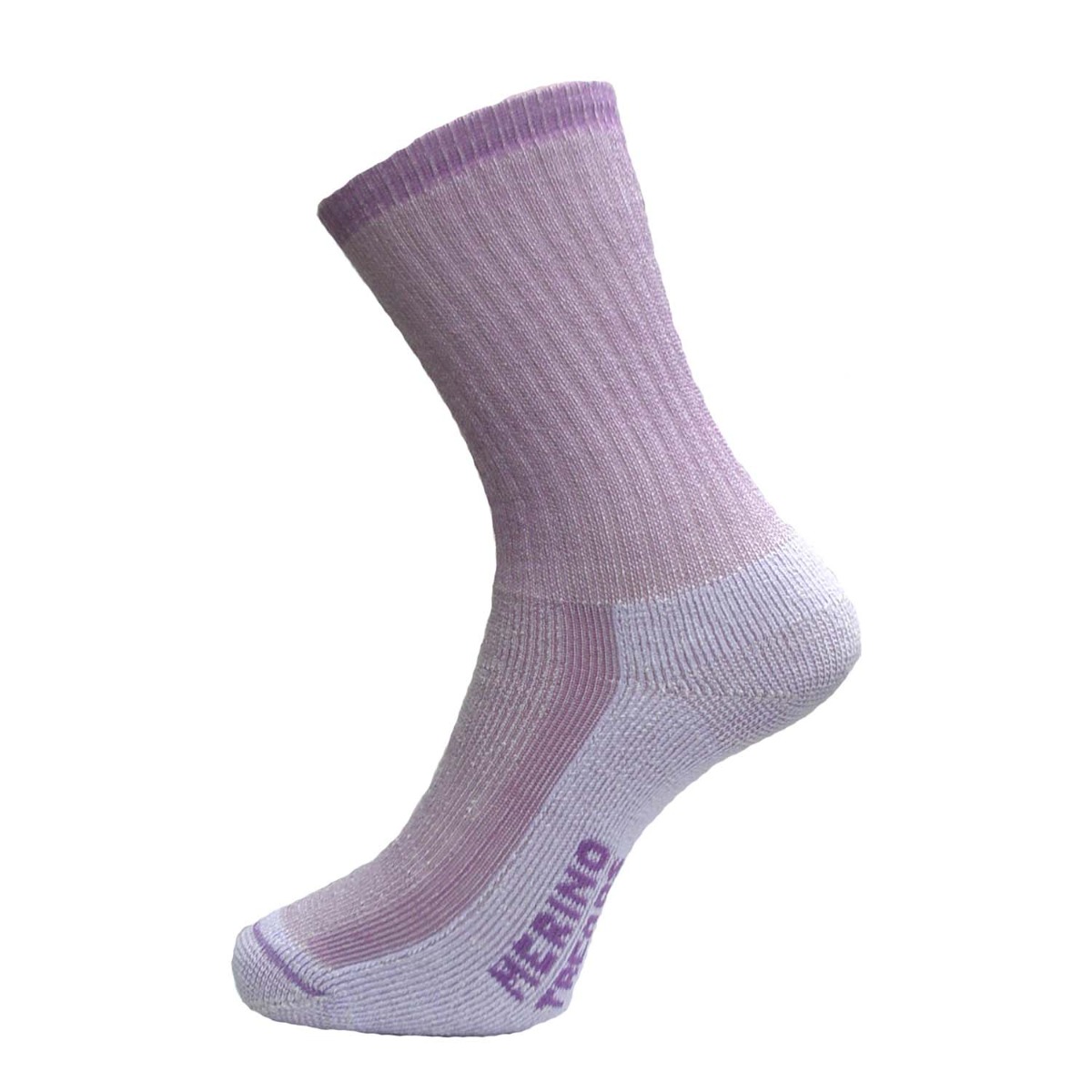 Someone in MALVERN EAST, Australia purchased MERINO TREADS wool sock VIOLET 3-8 with $29.993 hours ago.
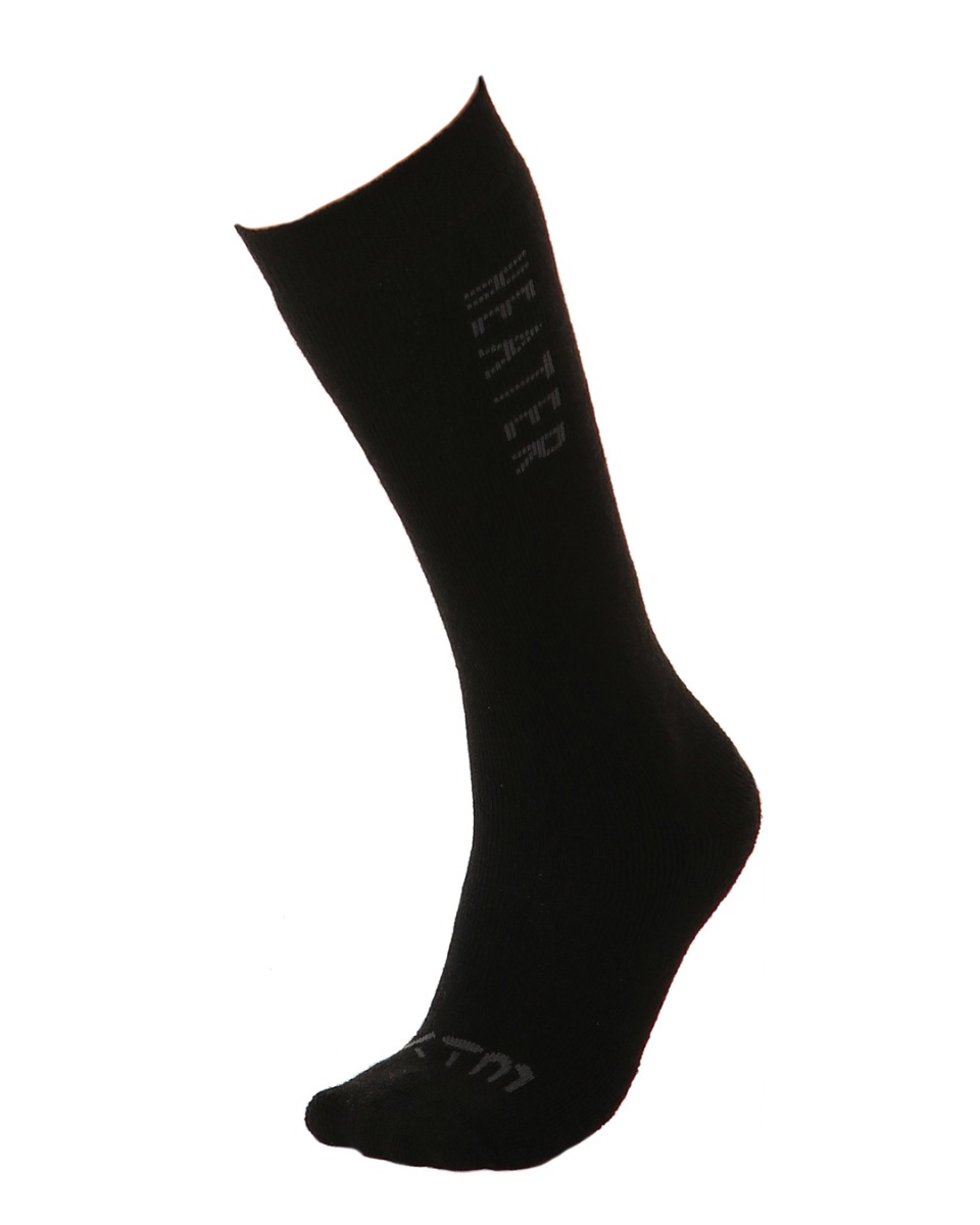 Someone in MALVERN EAST, Australia purchased Heater Kids' Thick Merino Wool Winter Socks 13-3 with $19.993 hours ago.
TERMS & CONDITIONS