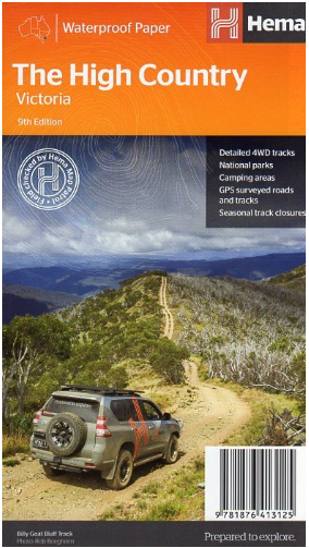

Hema High Country Victoria Map
SKU
8751400VIC041
Special Price $14.39 Regular Price $17.99
Available for delivery
Not Available For Click & Collect
High Country, Victoria Map
Coverage extends from Mansfield in the west to the Snowy River National Park in the east and from The Gippsland Lakes in the south to Myrtleford, Bright, Mitta Mitta, Perisher Valley and Tom Groggin in the north, including the Dargo, Licola, Omeo, Bogong and Wonnangatta areas etc.
The map has been printed on durable waterproof, super strong, synthetic paper.
Hema regional maps have a GPS grid, road distances, camping areas, fuel availability, national parks information, long distance hiking trails and lots more.
Scale - 1:200,000
- Strong waterproof paper
- Edition 9th edition.
- Publication date 2017
- Map Scale 1:200,000 scale.
- ISBN 9781876413125
Write Your Own Review

Enter your email below to receive your one time only $10 off Code.
Limited time only! Online Only! DON’T MISS OUT.
You might also be interested in
 Someone in Frankston North, Australia purchased Quokka 80 Headlamp with $12.994 minutes ago.
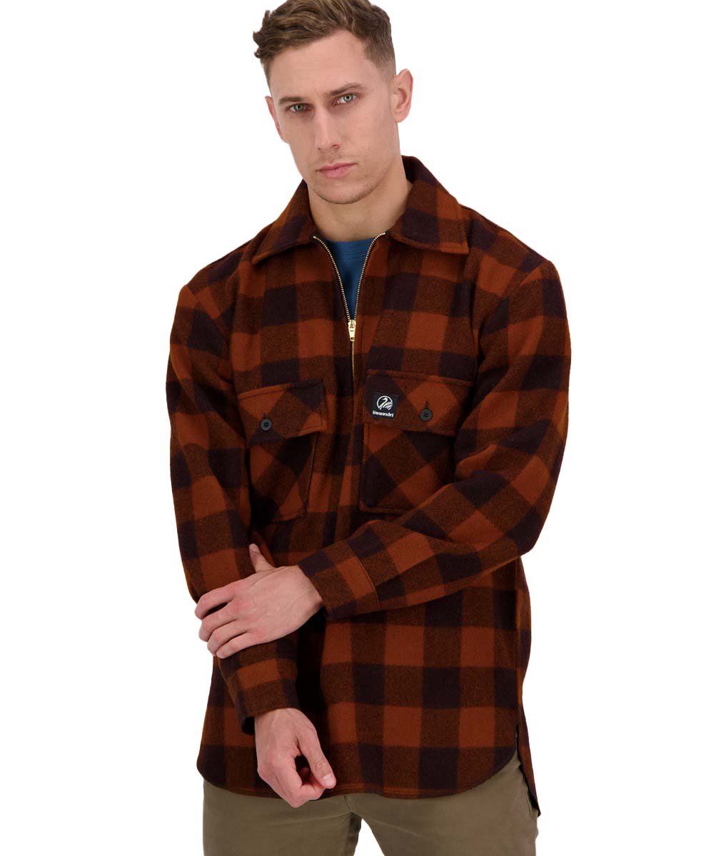 Someone in FLEMINGTON, Australia purchased Swanndri Ranger Wool Zip Front Bushshirt - Cedar Check with $151.9929 minutes ago.
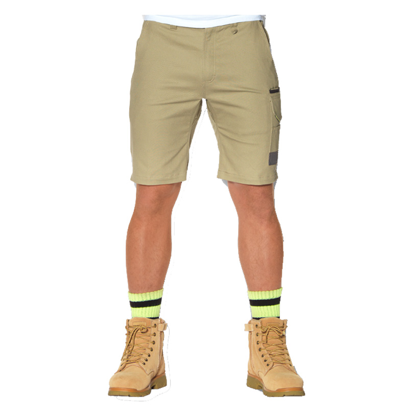 Someone in Kyneton, Australia purchased Tradie Flex Cargo Shorts with $43.9939 minutes ago.
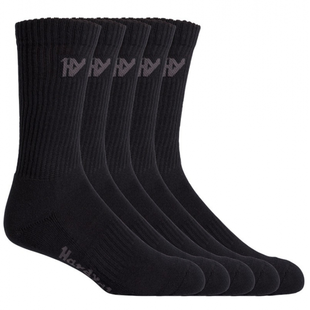 Someone in Kyneton, Australia purchased Crew Sock - 5 Pack Black with $19.9939 minutes ago.
TERMS & CONDITIONS